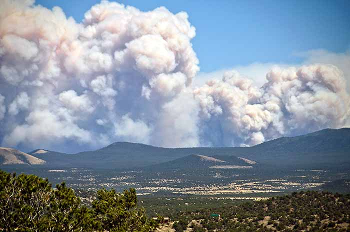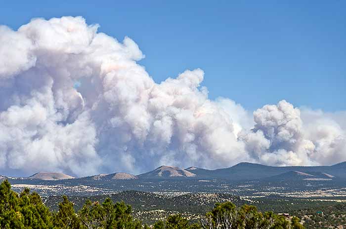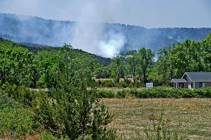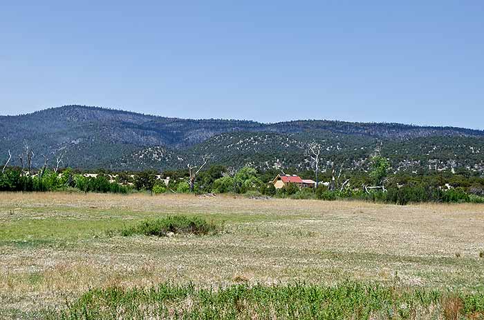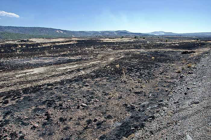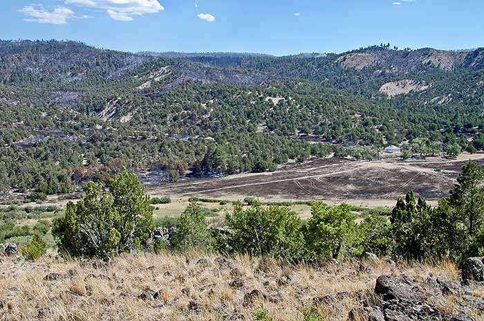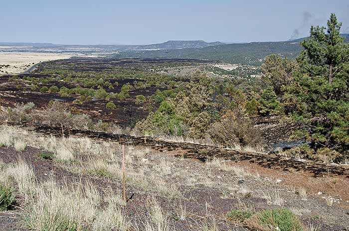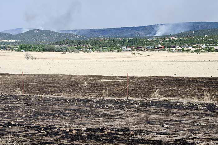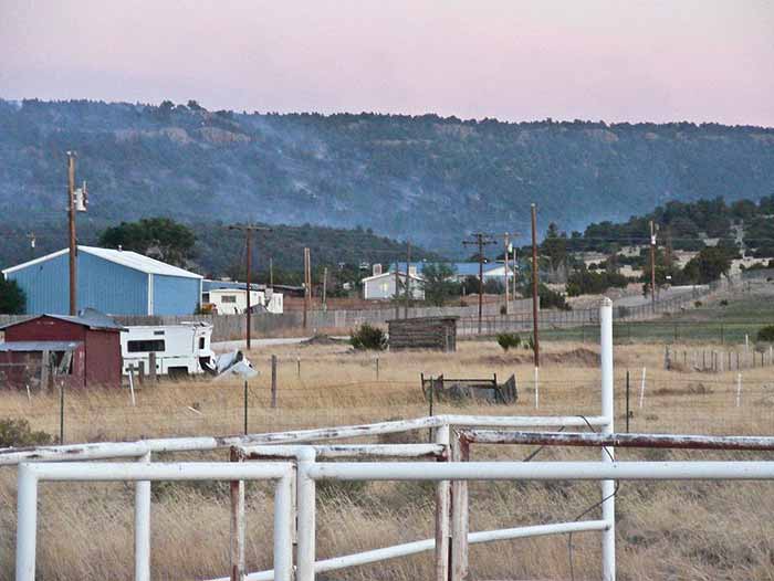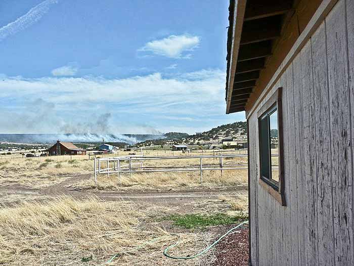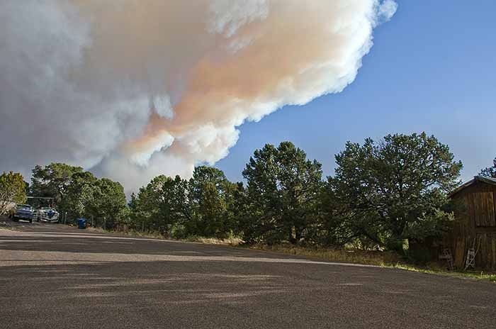
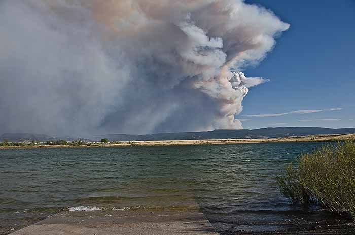
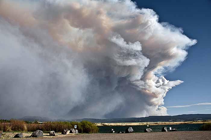
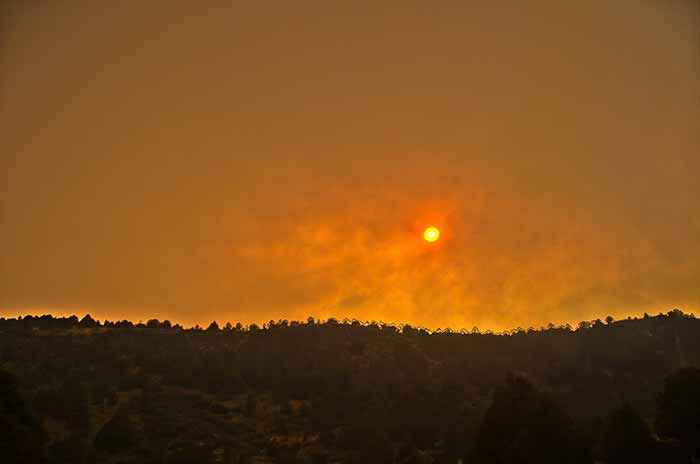
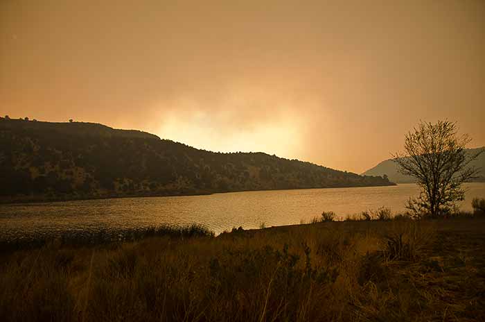
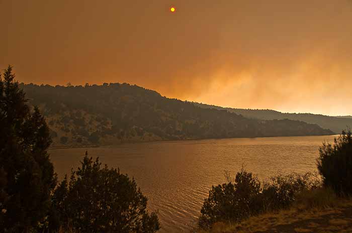
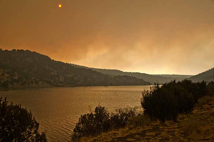
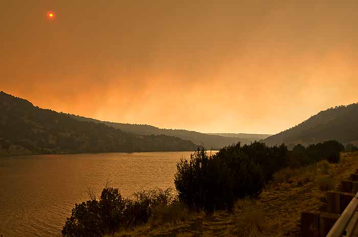
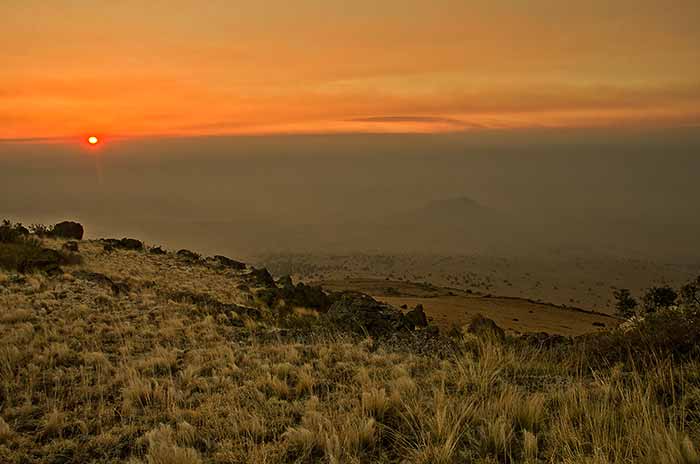
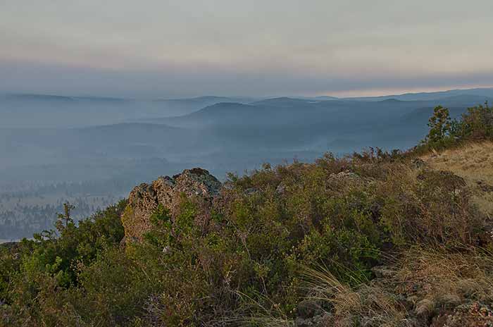
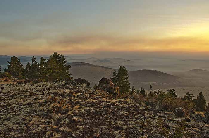
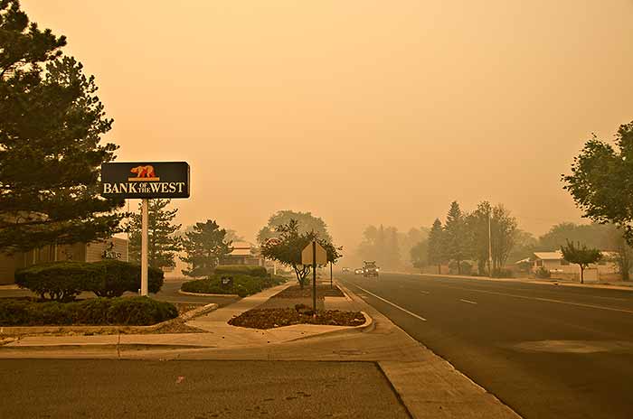
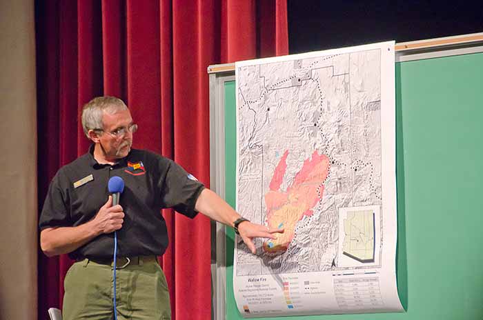
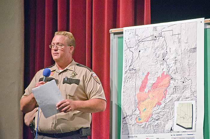
The Wallow fire is burning south of Eagar particularly south of Alpine as of today June 3, 2011. I'll try to get some shots each day for a while.
June 4, 2011
Added Pictures .
June 5, 2011.
No new pictures today. Trimming trees. Current Evacuations: Blue River Alpine, Nutrioso, Bonita Escudilla, Escudilla Mountain Estates, Dog Patch, H-V Ranch. Smoke has traveled as far as South Dakota and there is talk of evacuating patients from the Show Low hospital because of air quality. It's now 183,000 acres. - June 6, 2011. The fire is now 223,000 acres. The wind is bad news. I have put a link to the latest maps
June 7, 2011
. We've been preparing for evacuation today. It is predicted to come this afternoon but I haven't heard yet at 3: 20.  The latest size is:  311,481 acres and when the smoke clears a bit a person sees the plumes rising over the ridge above town. The fire is currently about 5.2 miles from Eagar so it is at the trigger point. Fely just called and said the Sheriff was at the library starting evacuation proceedings. Donna if you log on here I put a white cloth on your door knob and told the deputy you had left. We're out of here.
June 12, 2011
We were allowed to return today. The house looks the same as when we left. The smoke comes and goes. It sure is good to be back.
June 14, 2011 I drove up 260 past Greer junction. Most of the grass and vegetation to the south of 260 has been back burned to prevent the fire from getting across the highway toward Green's Peak. The burn extends from Big Lake Road to Greer Junction. Greer is still closed. Wallow today is the largest fire in Arizona History.
June 15, 2011 Nutriosoians are allowed to return home starting at 10:00 A.M.
June 16, 2011 We went to Show Low today to relax a bit and returned to another pre-evacuation notice. I'm not leaving a second time. High winds caused spot fires and coming home we saw a rather large one on Big Lake Road and there was one at the top of picnic hill. The fire is up to 487,016 and is 33% contained.
June 17, 2011 We rode up to Nutrioso and took a few shots of the damage. Wallow fire in Nutrioso.
June 18, 2011 People will be allowed to return to Alpine today.
June 20, 2011 People are back in Greer as of yesterday. I found some NASA photos that are interesting. http://www.nasa.gov/mission_pages/fires/main/usa/index.html I put a couple here.
July 9, 2011 Fire 100% contained. Big Lake, Nelson Reservoir and Sipes Ranch are open but about everything else is still closed.


From in front of my house about 4:00 PM
About 4:15
From Becker Lake about 4:30
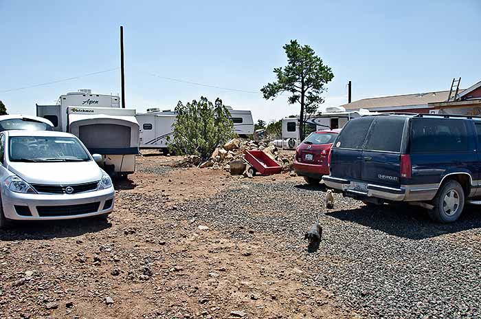
Sam snapped this of Trailer Park on Highway 60 as we went by.
She snapped this as we headed for Nelson Reservoir.
All at Nelson Reservoir
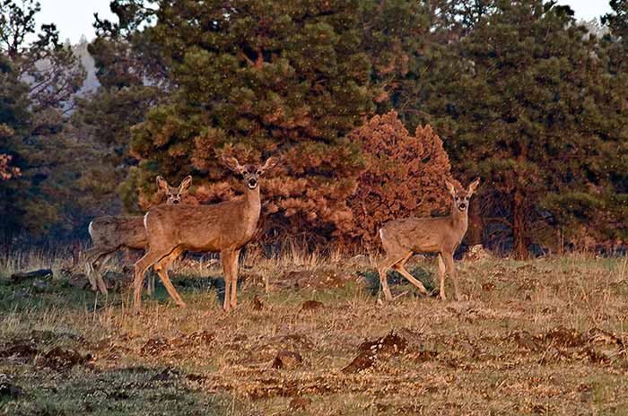
Below are Early morning June 4, 2011
Above from the top of Antelope Mountain 5:00 AM
It rough on the wildlife.
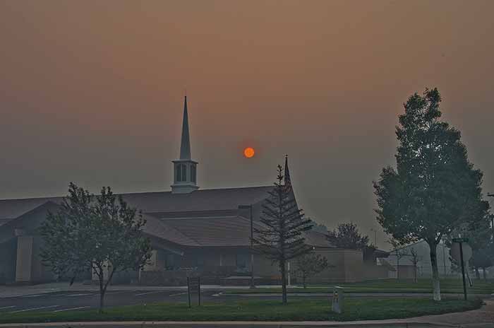
LDS Church in Eagar
About 6:00 AM
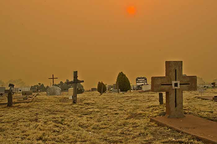
A couple at the Springerville Graveyard. We'll have to get used to that red sun.
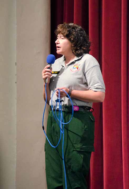
Shots at the June 4 public meeting
June 6, 6:00 AM
By my garage this morning.
June 7, 2011
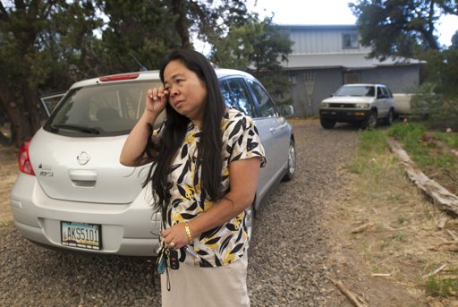
Michael Chow Photographer for the Arizona Republic interviewing Fely. He interestedly made the following comment from sportsshooter.com.
Michael Chow's Message: The Wallow Fire in eastern Arizona is the second largest wildfire in the state's history and there is still no containment. It's also the hardest fire I've ever had to cover because of the lack of access. Pick a spot 20 miles away from your house and pretend there's a fire there with mountains in between and you can only shoot pictures from your front yard. Until yesterday, the PIO's were not letting us anywhere near. Even then, we were only shown Hotshot crews doing backburns miles from the head of the fire. They evacuated parts of Eagar yesterday which made for some pictures.

I envy those of you who work in California who can shoot anywhere under the journalist law.

Thanks for looking!

-M

It's now July 10th and someone wanting to take pictures is still treated like a fool.
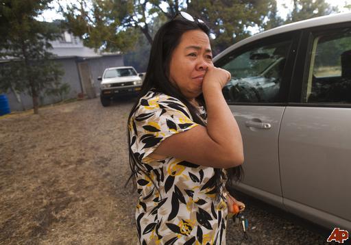
Fely Earl wipes away tears before leaving her home in Eagar, Ariz., on June 7, 2011. The small mountain town was evacuated Tuesday because of the Wallow Fire's blaze, which has burned 486 square miles of ponderosa pine forest, driven by wind gusts of more than 60 mph since it was sparked on May 29 by what authorities believe was an unattended campfire. It officially became the second-largest in Arizona history on Tuesday.…
(AP Photo/ The Arizona Republic, Michael Chow)


So far I have found this article in the San Francisco Chronicle, The Arizona Republic, on Daylife Smart Publishing Solutions, and on Yahoo News in the Philippines. July 10 The Arizona Republic again ran the first picture with 2 others under the caption:

 "The Human Toll"

Arizona's largest fires displaced well over 20,000 residents this season as homes, cabins and businesses were threatened throughout Arizona. Most left hastily, many leaving behind family treasures or cherished pets. Emergency pet shelters cropped up near evacuated areas. Forced to bunk with friends, at motels or in nearby shelters at local schools, evacuees came to know each other intimately. Outside Pinetop-Lakeside, entire families joined together to cook, camp and help care for each other. The lucky ones went home after a few days or a few weeks. Some, however, had little or nothing awaiting their return.
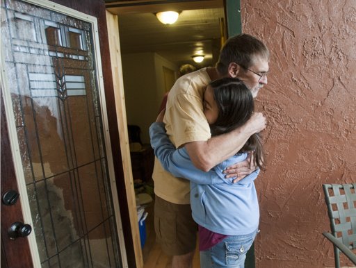
Tom Hollender gets a hug from neighbor Samantha Earl while evacuating their homes in Eagar, Ariz., on Tuesday, May 7, 2011. The small mountain town was evacuated Tuesday because of the Wallow Fire's blaze, which has burned 486 square miles of ponderosa pine forest, driven by wind gusts of more than 60 mph since it was sparked on May 29 by what authorities believe was an unattended campfire. It officially became the second-largest in Arizona history on Tuesday. (AP Photo/ The Arizona Republic, Michael Chow)

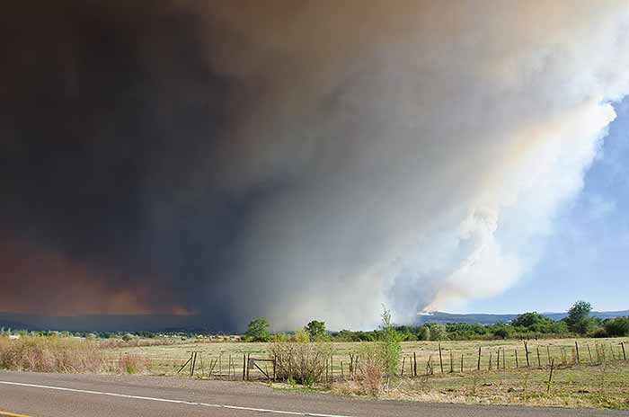
Leaving town
Views from where we stayed while near Concho
Home sweet home in Concho
June 13, 2011
A couple of shots from the end of Water Canyon
June 14, 2011
Above South Fork with the smoke in the distance that of Greer.
The old cabin above South Fork showing burned areas. The green strip in front of the burned out area is the Little Colorado.
Highway 260 on the left toward Eagar from the cinder pit.
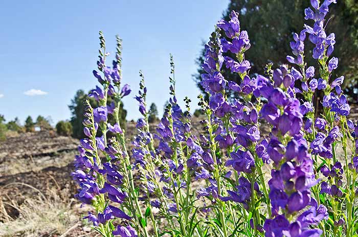
A bit of life in the midst of devastation.
From 260 toward 26 Bar.
June-16-2011
Paul Shehorn sent me these pictures showing how close the fire was to his place across from the rodeo grounds.